
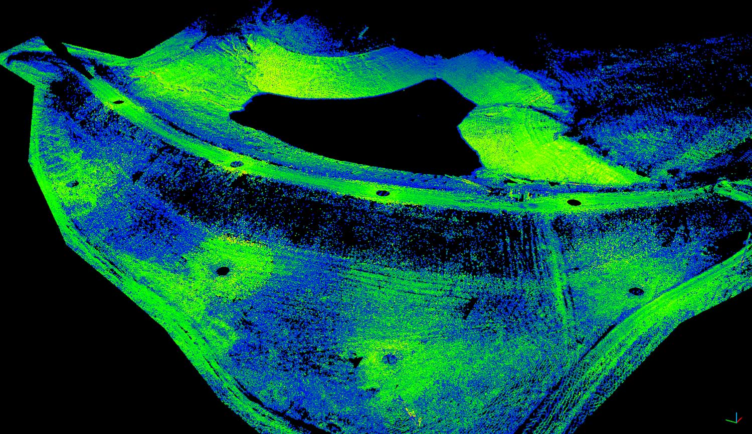
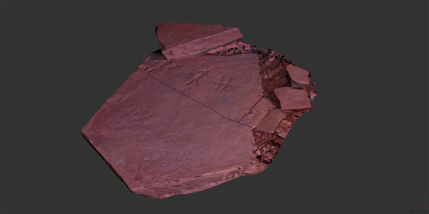
LEANspatial offers a range of 3D scanning services to various industries, with a speciality in reality capture solutions to the heritage industry. This is for both As-built documentation for heritage listed buildings and 3D scanning of remote and isolated indigenous heritage places.Our scanning solutions can also be used to generate & analyse:
- Land Form Modelling (DTM)
- Digital Terrain Models
- Stockpile / Dam Volume
- Deformation Analysis.
- Vessel & Tank Volumes
- Accurate Vessel volumes, determines as-is capacity.
- Can be compared to theoretical or historic model to analyse deformation over time.
- Plant and Infrastructure Modelling
- Rich, accurate data for incorporation into CAD/Modelling suites.
- Heritage Documentation
- Specialist solutions ranging from the entire site and surrounding environment to single object / artefact digital recording.
- ‘Stop & Go’ Scanning Solutions
- Fast and effective corridor mapping for road, rail & Mine data acquisition.
Our deliverable products can vary from Point Clouds for incorporation into CAD and Modelling suites, 3D PDF & Web Visualisation, Point Cloud Animation, & Photo rendered 3D Printing.
Dam Wall Volumetric Modelling

Stop and Go corridor scan
3D modeling and printing